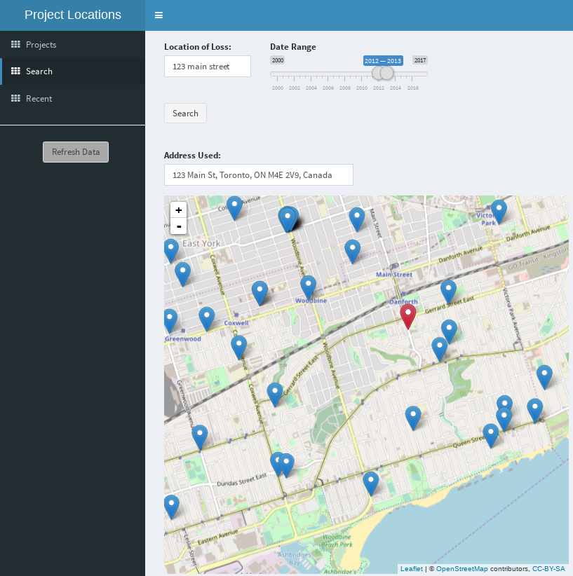
Conflict Search
Developed confict search application to proactively monitor project data for potential conflicts of interest.
In particular, it screened for potential conflicts based on loss location and date of loss. However, rather than comparing locations using fuzzy text matching, it resolved the loss location into a latitude/longitude pair to check for nearby losses geospatially. This helped to find conflicts that might otherwise have gotten past a text-based conflict search.
As a specific example, a property might be located on the corner of two adjacent streets, and be referred to using different street addresses. Since the streets will have different names, this will not be flagged as a potential conflict, even though they are the same property.
Note: Items shown below do not represent real project locations.
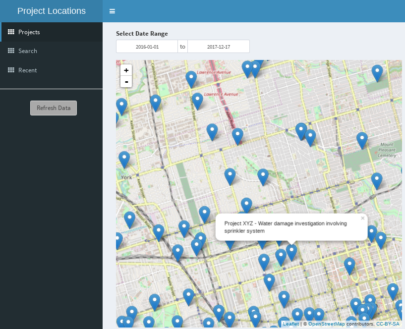
Having the geospatial loss data available also made it possible to create a user interface to browse existing losses and also search for nearby losses for any address, as well as report on loss trends.